While we were staying in San Pedro la Laguna, Euri and I hiked partway up Volcán San Pedro, the volcano right behind town. We took a tuk-tuk up and did it ourselves. It's steep and rugged, and we pretty much had the trail to ourselves. I say partway because I must have drunk some bacteria somewhere, and my stomach didn't let me make it all the way to the top.
Trail details
Living in Guatemala puts the summit at 9,908 feet, with about 3,900 feet of gain from San Pedro la Laguna and 8 to 10 hours round trip, and rates it moderate to hard. It doesn't give a distance, and The Outbound lists 4 miles round trip and about 5 hours, so treat those numbers loosely. Living in Guatemala says the trailhead is at the park office on the northwest edge of town, about a 15 minute walk from the main dock or Q5 to Q10 by tuk-tuk. It lists entry at Q100 and a guide at Q150 to Q200 as of early 2026, and says registering at the office effectively makes a guide mandatory, while The Outbound says the Q100 includes one (checked November 2026). We went without a guide, but rules like this change, so ask at the office. There's no water on the trail, the upper part is steep and full of roots, and Living in Guatemala suggests starting by 6 a.m. because clouds can cover the summit by mid-morning.
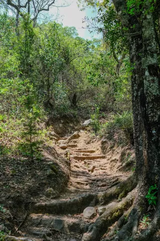
Through the coffee plantations
The lower part of the trail goes through coffee plantations, and I found them really interesting. Coffee in Guatemala was delicious, and this is clearly why. They grow the good stuff a mile away.
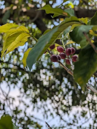
Those red cherries are what turns into your cup of coffee. Around San Pedro, some of it comes from very small farms. Equal Exchange wrote about a coffee tour run by Tz'utujil Mayan youth in town, on an organic farm belonging to a member of Adenisa, a small local co-op. The members of the wider group that co-op belongs to farm less than two and a half acres on average, and the article describes people removing the pulp, then washing the beans and drying them in the sun, with the work done by hand.
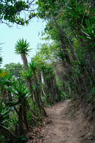
Steep, rugged and empty
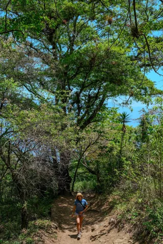
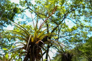
Above that, the trail is steep and rugged, with roots and rock steps to climb over. There were big trees overhead with bromeliads growing right out of the branches.
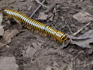
The creatures were fun to look at too. This millipede was black with bright yellow bands.
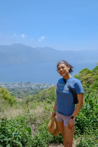
The view from as far as I got
We got some big views of Lake Atitlán on the way up.
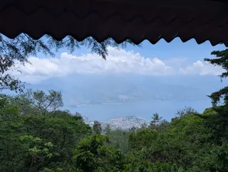
There's also a wooden lookout with a corrugated roof that frames the whole lake, with San Pedro la Laguna on its point far below.
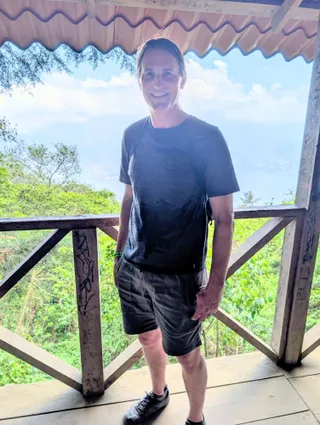
So I can't tell you about the summit. My stomach made that decision for me. For another volcano on the same trip, see Pacaya, where we roasted marshmallows in a crack in the lava rock. The whole route is in our Guatemala itinerary.