Euri and I hiked to Grand Park by way of Lake Eleanor, on the north side of Mount Rainier National Park. Grand Park is a meadow that goes on for miles, and the whole time you're walking across it, Mount Rainier sits at the far end like somebody parked it there for the photo.
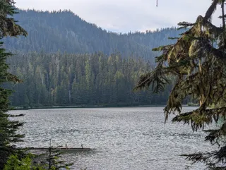
Lake Eleanor
The trail follows Eleanor Creek through the forest and crosses into the national park almost right away. In just under a mile you reach Lake Eleanor, a quiet lake with a few campsites along the shore and moss hanging off the trees.
Into Grand Park
Past the lake, the trail dips down to a meadow and then climbs through hemlock and fir, with the meadows getting bigger as you go. Then the trees open up, and you're in Grand Park. By late August the grass had turned gold, and little subalpine firs were popping up all over it.
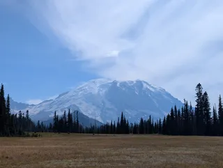
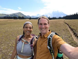
The trail is a narrow dirt line through the middle of the meadow, so it's hard to take a bad picture. We took a lot of them.
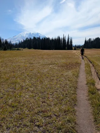
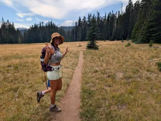
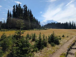
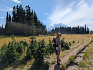
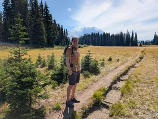
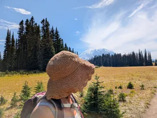
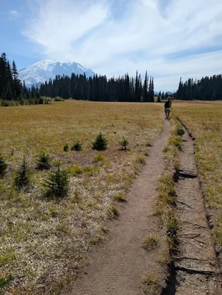
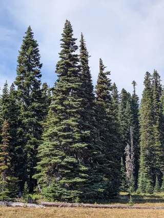
There's no big climb and no scrambling, just a lot of meadow to wander and Rainier the whole way. If you want something with more of a challenge, there's Mount Washington or The Brothers, and the rest of my Washington hikes.
Trail details
Distance: about 8.7 miles round trip
Elevation gain: about 1,460 feet, with a high point of 5,630 feet
Trailhead: from Enumclaw, take SR 410 east about 25 miles, turn right onto FR 73, and drive about 10 miles to the signed Eleanor Creek crossing; park on the roadside (some maps still call it FR 7360)
Passes: no parking pass; camping at Lake Eleanor needs a backcountry permit from Recreation.gov
Dogs: not allowed, since the trail is in the national park
Difficulty: moderate, with gentle climbing and a drop of about 150 feet past the lake that you climb back on the way out
Source: WTA (checked October 2026)
Update (October 2026): WTA lists FR 73, the road to the trailhead, as closed by a washout, and trails in the park's Sunrise region, including this one, as closed for the Grand Park 2 and Wonderland Complex fires. Check WTA and the park before you go.