My friend Ellery, his dog Taco and I hiked up Dingford Creek to Hester Lake, and it was a lot more work than the numbers make it look. This is a difficult trail. It starts rocky and steep, goes long and flat in the middle (if you can find it), and finishes with switchbacks that feel like they go straight up. It was beautiful and worth it. I'm also sore today.
Trail details
It's 10.8 miles round trip with 2,600 feet of gain to a high point of 3,900 feet, and WTA rates it hard. From I-90 exit 34, take the Middle Fork Snoqualmie Road 12 miles to the Middle Fork trailhead, then cross the concrete bridge and turn right onto the Dingford road for six heavily potholed miles to the Dingford Creek trailhead. Take Dingford Creek Trail #1005, then go right at the fork about three miles in onto the Hester Lake trail. You need a Northwest Forest Pass or America the Beautiful Pass (checked November 2026), and dogs are allowed on leash. Expect several creek crossings, lots of mud, and a stretch where the trail is easy to lose.
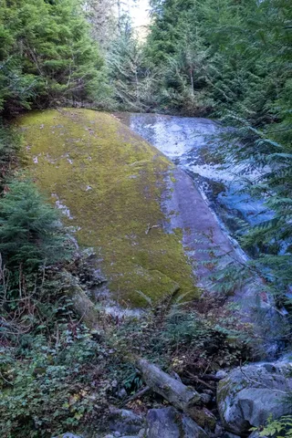
Rocky and steep from the start
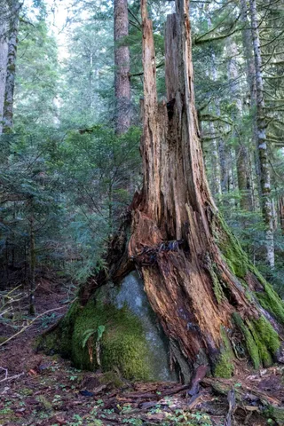
The trail starts climbing right away. The beginning is rocky, uneven and steep, with rocks on the trail and boulders lining it. WTA says the big mossy ones are glacial erratics, dropped here when ice covered the valley. About a mile in you pass Pumpkinseed Falls, a creek running down a big granite slab.
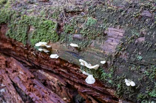
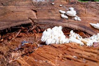
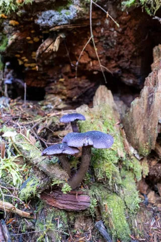
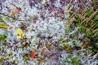
The forest floor was full of fungi: white shelves on the logs, a clump of coral fungus that looked like a tiny frozen waterfall, and a cluster of purple mushrooms.
The long, muddy middle
After the first climb, the trail flattens out for a long stretch. That sounds like the easy part, and mostly it is, except for the part where you have to find the trail. It isn't well marked, and we had to stop a couple of times to figure out where it went.
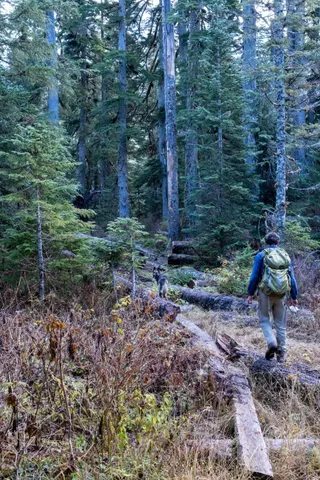
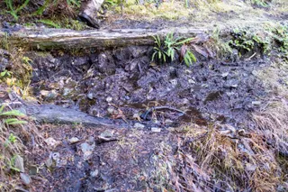
There's mud. Lots of mud. Some of it you can step around on logs, and some of it you just walk through.
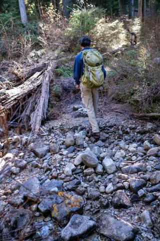
There are also multiple creek crossings. On one of them I slipped on a rock and dunked my left foot, so I got to walk the whole way back down with one soaking wet boot. Bring extra socks.
Straight up to Hester Lake
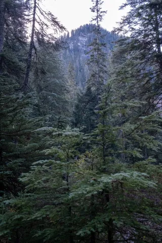
At the fork, the Hester Lake trail heads off to the right. WTA says it climbs about 1,000 feet in two and a half miles, and the last push felt like going straight up switchbacks.
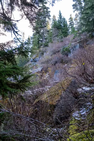
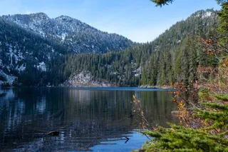
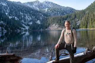
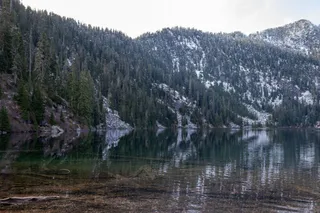
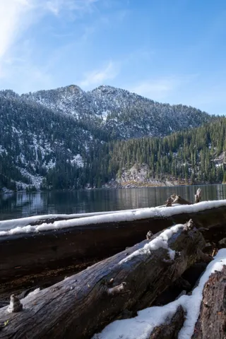
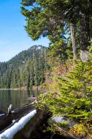
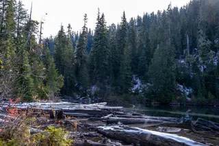
Then the trail ends at the lake. We had fresh snow on the peaks and on the logs along the shore, and the water was clear enough to see the sunken logs on the bottom. Mount Price is the craggy peak above it.
Is it worth it?
Yes. It's a hard day between the mud, the creeks and the route finding, but the lake at the end, with snow on the peaks, was worth it. Ellery, Taco and I also hiked Snow Lake and Gem Lake this summer. For more like it, browse my Washington hikes or my Blanca Lake post.